In Progress
This entire Red Springs area is a ton of fun, there's beautiful views and lots of exploring to be done! To access this part of red rock, you turn off of West Charleston BEFORE the main fee entrance to the park. So, you don't take the scenic loop! Look for the signs to red springs on the right hand side and follow the road to the parking lot straight ahead.
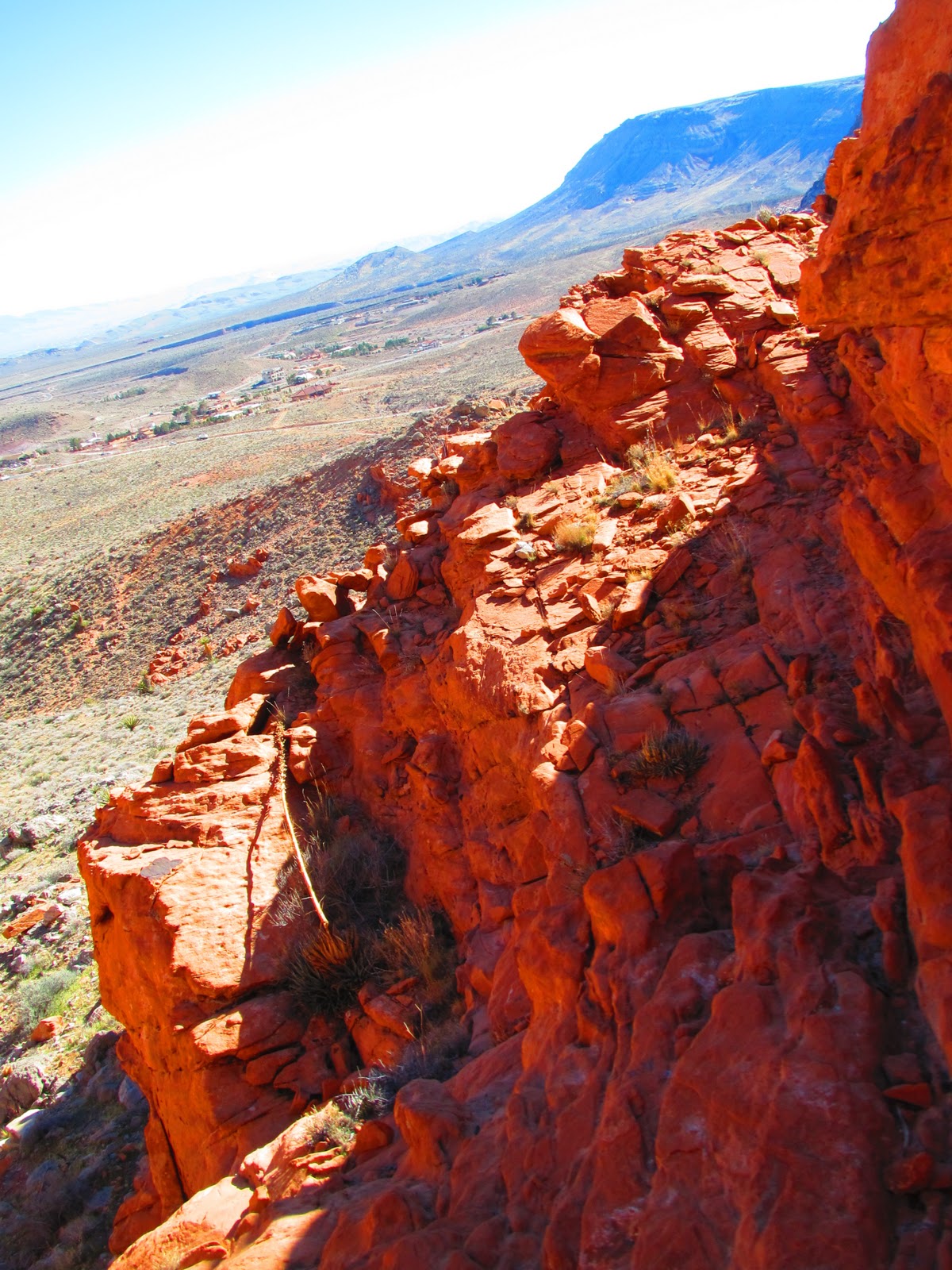
Look for the trailhead to the right of the picnic area (don't take the boardwalk, it's boring and won't get you anywhere!). The trail splits and you can either continue walking straight ahead to the rocks in front of you or go off to the right. Straight ahead, the trail ends very quickly and you must start climbing. It is possible to climb to the top without equipment, but you have to really search for a good starting point. There are lots of drop-offs and it is steep so be careful! And have fun!
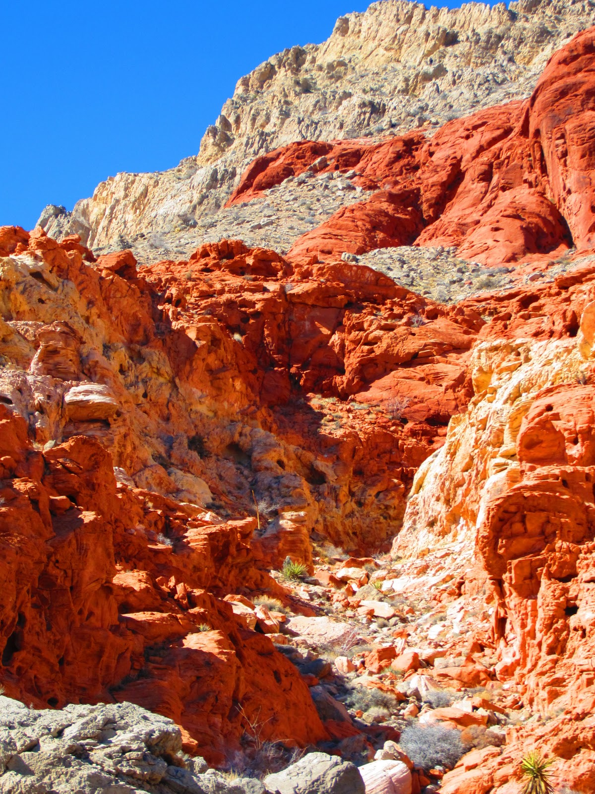
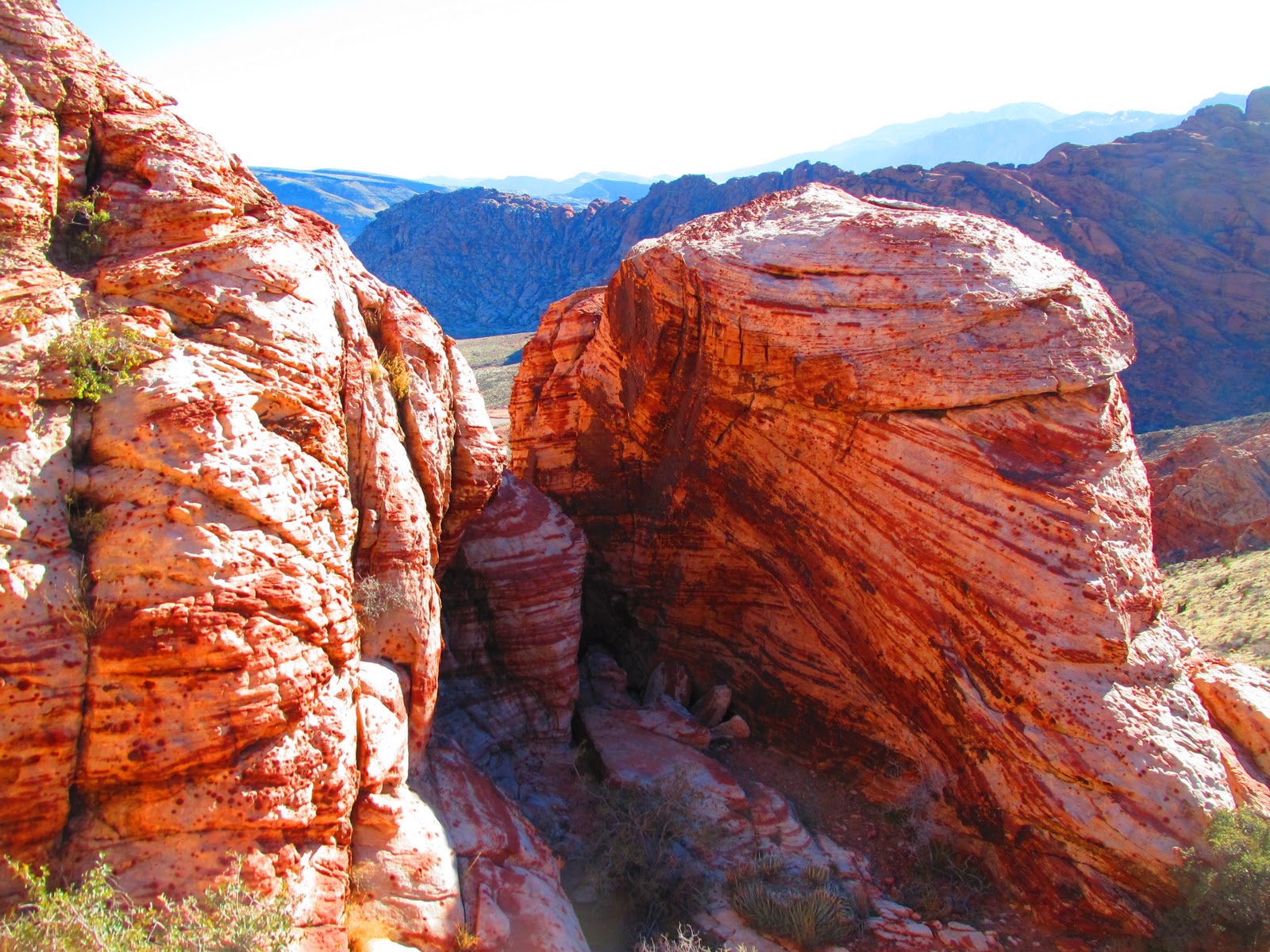
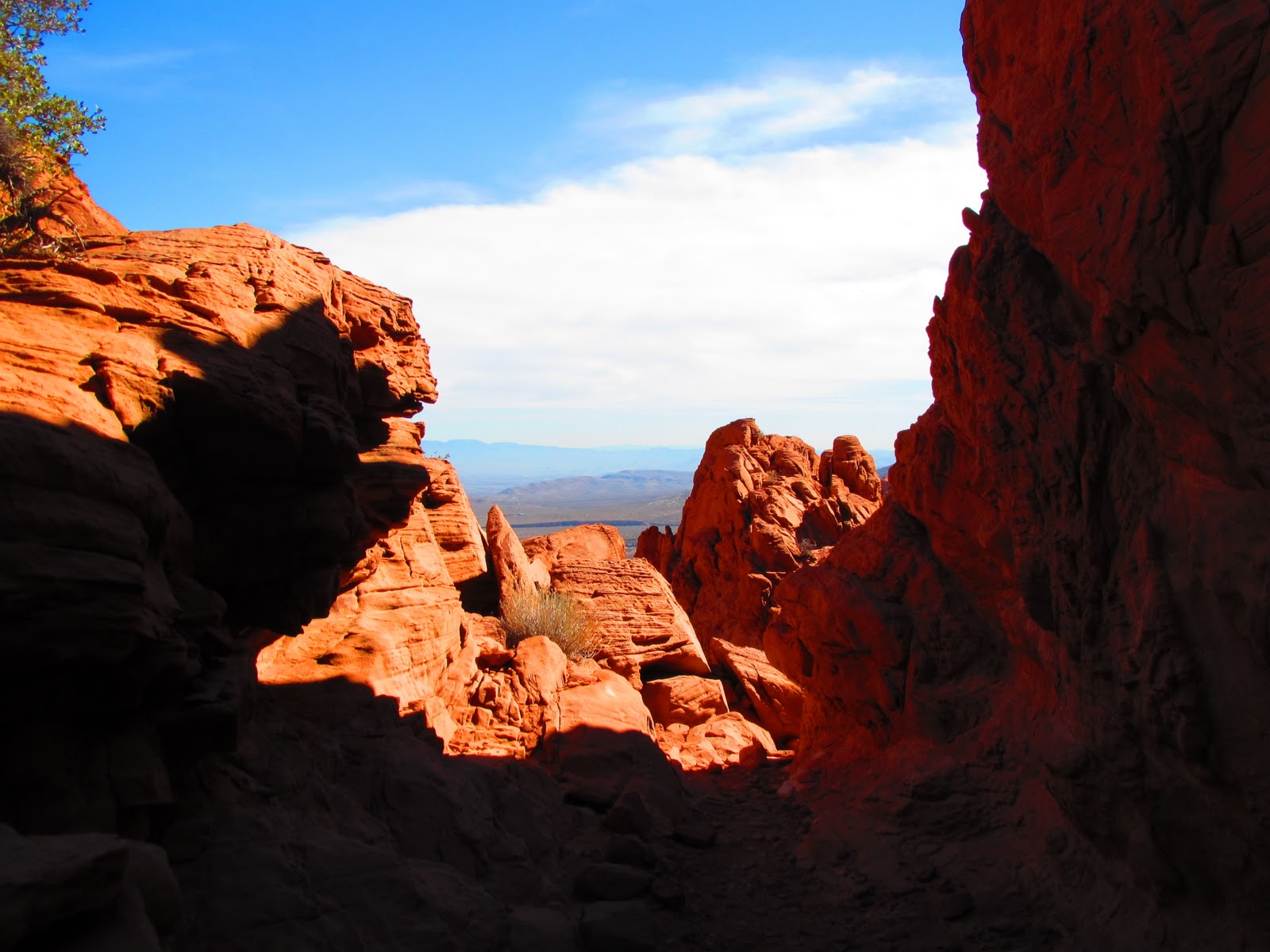
If you choose to take the trail to the right, you will see some beautiful views. The rocks rapidly change colors along the trail. There are many different routes you can take. You can also choose not to take any of these and just scramble to the top of the rocks. I have heard that there are even some old agave roasting pits up high and some ropes that people have attached to help you climb. I personally haven't been up that high yet because I frequently hike alone and I don't want to risk injury when I'm alone.
 |
When you start at the red springs parking lot, the trailhead is to the left of where "start" is written. From the starting point shown here there are a few options. You can turn off the main trail at the arrow labeled "I" and head toward the really red rocks. Here you can scramble all the way to the top of the trough that the arrow is pointing to. The view looking out the opposite side of the valley is beautiful!
You can also continue to follow the main trail past a marsh and up a steep hillside to begin a loop. The loop will bring you around the mountain shown to the arrow labeled "II" where you scramble down the trough shown. Alternatively you can do this loop in reverse, scrambling up first and then around. |
For info about the trail at arrow I please see this post:
*Red Springs Area / Calico Scramble @ Red Rock Canyon*
To hike the loop, begin at the trailhead and follow it to the right. Stay on the main trail shown in the image below to bypass the red rocks. This trail continues past a marsh and up a hillside. If you want to scramble UP instead of down, turn left at the fork in the trail at the marsh/creek area. If you want to scramble down, continue straight ahead up the hillside labeled "loop" in the image above! From this point on I will describe the trail as shown in the image above, going up the hillside then scrambling down.
 |
| Trail to loop |
 |
| Bypass the marsh / creek area, don't turn left here! |
 |
| Head this way past the creek |
Before going up the hillside, you will come to some rocks with mini-"caves" or rock cut-outs that the natives used to use. This is a fun area to stop and take a scrambling break! WARNING - it is very easy to get distracted on this hike! Theres lots of fun climbing spots!! The first time I made the hike I only went half way around the loop before I had to turn back because I had spent so much time climbing around and the parking lot closes at 5pm (in the winter). The next day I went back to complete the loop, it took me 3hrs scrambling down. I think it would take less time if you somewhat know the route ahead of time because the entire time I kept debating whether or not I was actually going the right way and wondering if I should turn back. I hiked it alone and at some points the trail is confusing. The next day I hiked the loop again, this time in reverse scrambling UP instead of down which I think is harder and I was a little tired from my prior 3 days of hiking! It took me 3 hours again.


 |
| Pretty red sand! |
As you can see, I got stuck playing around here for quite a while! Now to move on with the hike, starting up the hillside... The trail is very obvious here. It does split off in a couple places, so make sure you keep heading in the direction of turtlehead peak instead of down the hillside. If you do head down the hillside, you most of these trails appear to lead to the marsh that you will end up hitting anyway so it's not a big deal.

 |
| Looking behind me at the top of the hill |
 |
| I backtracked a little bit and started climbing again... |
Ok, getting back on track again...!
 |
| Turtlehead peak is the tall grey mountain on the upper left hand side |
 |
| Ocean or sky? hehe jk. On the second day when I went back the sky was so blue! It almost looks like a painting. |
 |
| So many different types of rock! the pink and white ones are part of the "candy stripe" area. This is another fun place to climb! |
 |
| I was worried I was going to drop my camera down here for some reason! |
 |
| On top of some candy strip rocks |
 |
| This is the wash that you will end up walking in |
 |
| Go around the left of this rock then straight down to the wash |
 |
| Another view of the rock you go around |
 |
| You can see the rock in the pic above in this picture. I took this looking back up the hillside I just came down, this is the entrance to the wash. If you are doing the loop in reverse, notice the trail markers that have been placed on the hillside! |
 |
| I spy icicles!! |
 |
| I wouldn't spend time trying to find these, when I went back the next day to do the loop in reverse they were already gone! |
 |
| Ok! You've hit the end of the wash... NOT! Climb past this apparent endpoint and the trail will fork; go to the left |
 |
| Fork: You want to head to the left instead of straight back |
 |
| Looking behind me right from the above picture. If you're going in reverse, this boulder is a good marker to remind you to turn right at this fork. You should be heading opposite of turtlehead peak now if you're hiking in reverse! |
 |
| Continue down the wash. On the very right you can see some rocks have been placed as trail markers. When you're on the trail, turtlehead peak will be on your right. |
 |
| Time to start scrambling along the wash! |
 |
| Looking behind me down the wash again. If you're doing the reverse loop you want to be heading toward these rocks. Such vibrant colors today!! |
 |
| When the shrubs start getting thick in the wash, keep an eye out on the left for a trail on the hillside. This will make your life a lot easier! |
 |
| Looking behind me again. I noticed the trail I was on merged with another trail and I wanted to remind myself I had come from the trail on the left. I'm still not sure where the one on the right goes, but I would guess they meet again further along! |
 |
| Head toward the red & white rocks |
 |
| At some point the trail will be difficult to see. Stay toward the left of the wash (Eventually you will turn to the left to begin the down climb) |
This is where things started to get tricky. I had met a hiker on my way that told me to find the trail on the hillside and follow it till it forks. He said you want to go to the left at the fork, instead of the right. The trail to the left is difficult to see, but the one going right heads toward white rocks. "Don't head toward the white rocks" he told me! Well, I have no clue where that fork was... but I stayed to the left AND headed toward white rock (honestly, I don't see any way to avoid heading toward them. I found a trail again further along that made me think I was going the correct way. I began the downclimb and shortly after there was another trail I followed on the hillside. I felt more confident. I began to scramble down some more when the trail ended. Things were fine for a while, in fact, looking out at the view, I even felt like it LOOKED like I was in the correct spot. To be continued...
 |
| Beginning of the down-climb. The rocks in front of you will be red. To the right they are white. I recommend staying in the red part, the white side looked like there were too many drop-offs |
 |
| Looking back, I can make out the faint trail I had just followed |
 |
| Trail to the down climb |
 |
| Again reminding myself of where I had come from before starting down, in case I needed to go back! |
 |
| Looking back at the rocks I had just passed by |
 |
| Kinda cool shot of turtlehead between some interesting rock "peaks" |
 |
| Looking back up at that rock again |
 |
| Lol, showing myself where I had come from again, can you tell I wasn't confident about where I was going?!? |
 |
| See the trail on the left? |

 |
| You definitely can't tell in from the picture, but this is where I first got "stuck!" Rule: Don't go down anything you can't get back up!! |
This doesn't look anywhere near as bad of a drop as it looked in person. I would guess it was about 7ft down to the first ledge, then another 20ft to the gravel bottom. In addition, the rocks were extremeley smooth, I couldn't find any footholds/hand holds. I knew if I dropped myself down to the first ledge, I wasn't going to make it down the next drop. I also knew I probably wouldn't get back up given that there were no holds on the rock. To the right of this, there was another smooth rock that was a little steep initially and flattened out toward the extreme right side. The issue was that if I were to cross this rock in the steep area, and I slipped, I would be falling about 25-30ft. I didn't want to take that risk! So, after a lot of debating & waiting for someone else to happen along the trail, I gave up, turned around and started to head back up. Ah hah! The answer became apparent! I didn't notice this from where I was standing earlier, but the steep part of the rock flattened out a lot up the hillside. Here it would be safe to cross all the way to the right side, where I could avoid a steep drop and continue to make my way down! Problem solved!! :)
 |
| Looking from down canyon from above the drop-off. It really looked right - I could even make out the marsh that I'm supposed to end up in! |
 |
| The drop off from the "safe zone" on the right side |
 |
| The way I went down |
 |
| A shot of the steep section... although I don't think the picture does it justice! |
 |
| The drop off again from another angle. I'm sure there are people who could climb up and down this, but I'm definitely not that skilled! |
 |
| Looking much better! |
 |
| More scrambling |
 |
| Looking back up again |
 |
| Huge boulders |
 |
| Big slit in this boulder (this is the same one pictured above from the other side of it!) |
 |
| Challenge number deux! Another steep, big drop! This one looked possible to attempt to climb down, but I wasn't about to try it on a lonely trail by myself! |
 |
| So the secret is, once again I headed back up the trail and while heading up I noticed footprints off to the left. There are some rocks that look like they drop off but as you get closer you see that you can easily climb down them, there's no drop. At this point, you come around the left side of the image above. If you're doing this hike in reverse, you actually will kind of make a u-turn here. I attempted to use my finger to remind myself that the trail is behind me and left in case I needed to go back up! |
 |
| You go under this sucker! |
 |
| Coming out the other side of the boulder |
 |
| Please don't fall right now...! |
 |
| Almost down! |
 |
| I'm gonna make it! |
 |
| Taking a mini-break :) |
 |
| Made it to the marsh! |
 |
| Looking back from the edge of the marsh |


No comments:
Post a Comment